
Route Navigation & Trail Markers
Finding your way on Birštonas forest trails is straightforward once you understand the signage system. We'll walk you through everything you need to know — from reading trail markers to knowing what to do if you need assistance.
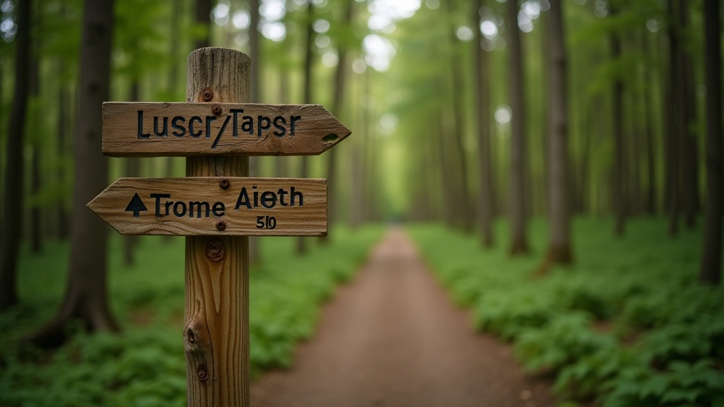
Why Trail Markers Matter
The mineral forest trails around Birštonas have been walked for centuries. What's changed is how we mark them. You won't find yourself confused or lost — the system's straightforward, and it's designed for everyone from first-timers to regular walkers.
Each trail has its own color code, distance markers every 500 meters, and rest points clearly labeled. It's not complicated, but knowing what to look for makes the experience smoother. Plus, when you understand the system, you can choose routes based on exactly how far you want to walk.
The Basics
- Color-coded trails for easy identification
- Distance markers every 500m
- Rest benches at key points
- Emergency contact information posted
Understanding Trail Colors
There are three main color-coded trails in the Birštonas forest. Each one offers a different experience depending on your fitness level and how much time you've got. The colors aren't random — they're standardized across all regional trails, so once you learn them here, you'll recognize them everywhere.
The blue trail is the easiest and shortest — about 2 kilometers. It's flat, passes near the mineral spring pavilion, and takes roughly 30-40 minutes at a comfortable pace. The green trail covers 3.5 kilometers with gentle elevation changes. It takes you deeper into the forest where you'll see older pine groves. Plan for 50-70 minutes. The red trail is the longest and most challenging at 5 kilometers with some steeper sections. It's for people with solid fitness and takes 90 minutes or more.
Reading the Signposts
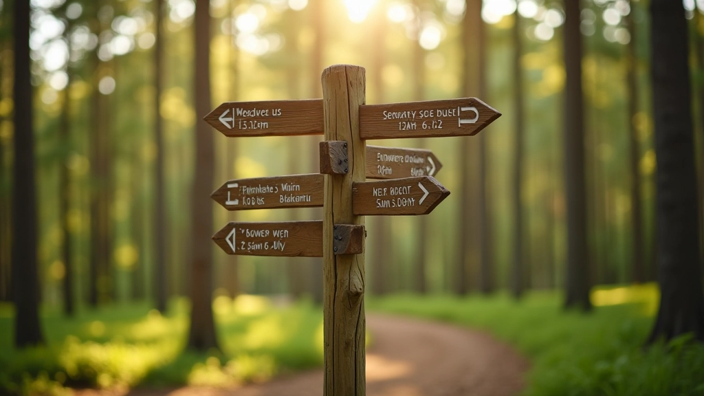
Every major junction has a signpost. You'll see it from at least 20 meters away. The posts are solid wood with painted or carved information. The top usually shows the trail name and which direction you're heading. Below that, you'll find distances to nearby points — either in kilometers or walking time, sometimes both.
The distance information is realistic, based on a moderate walking pace of about 4 kilometers per hour. If you walk slower, add 20-30% to the time estimates. The signposts also show elevation information — a small icon indicates whether you're going uphill, downhill, or staying level. Don't ignore this. A section marked "steep uphill" really means it, and it's good to know before you commit to that direction.
Distance Markers Every 500 Meters
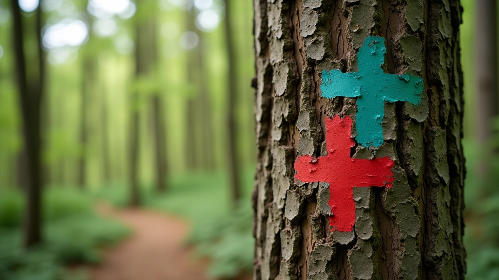
As you walk, you'll notice smaller painted marks on trees — these appear every 500 meters along the trail. They're usually about waist-height, painted in the trail's color. They serve two purposes: they confirm you're on the right path, and they give you a sense of progress. When you see one, you know you've completed 500 meters since the last one.
If you're tracking distance on a fitness app or watch, these markers help you verify your progress. Sometimes the GPS signal gets a bit wonky under dense tree cover, but the painted markers are always reliable. If you haven't seen a marker in 10-15 minutes, it's worth backtracking to the last signpost to check your direction. It's not a big deal — just means you've taken a wrong turn, and you can correct it immediately.

Rest Points & Facilities
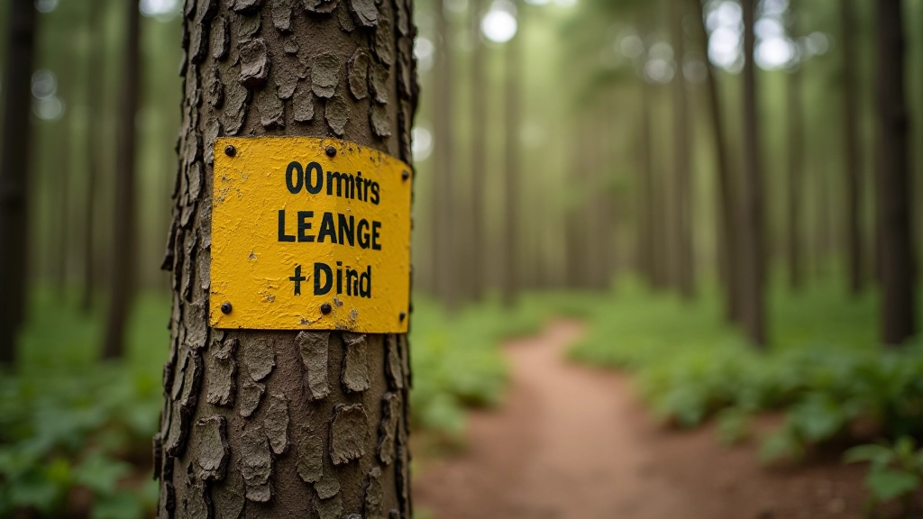
You'll find wooden benches at regular intervals along all three trails. These aren't random placements — they're positioned at natural viewpoints, at the top of hills, or at junctions where the scenery is particularly nice. The benches are sturdy and weather-resistant, built to last. Most of them have a small plaque showing which trail you're on and approximately how far you've come.
Rest points are more than just places to sit. They're spots where the trail opens up a bit, so you get better views and phone signal improves. There's typically one rest point every 1-1.5 kilometers, which means you're never more than 10-15 minutes' walk from a place to sit down. If you're not feeling well or your legs need a break, you don't have to push through — there's always a bench coming soon. The mineral spring pavilion near the start of the blue trail has water fountains, bathrooms, and covered seating areas.
GPS Coordinates & Digital Maps
If you prefer using your phone or GPS device, we've got you covered. Key waypoints along each trail have been marked with GPS coordinates. These include trail starts, major junctions, rest points, and emergency locations. You can download the trail map from the Forest Wellness Paths website, or use standard apps like Maps or AllTrails — all three main trails are already mapped there.
GPS works well on the open parts of the trail, but under dense canopy cover, the signal can get spotty. That's why the physical markers are so important — they're your backup. Some walkers carry both: a phone with offline maps downloaded, plus they pay attention to the painted blazes. The combination gives you complete confidence. If you're comfortable reading a traditional paper map, we have those available at the visitor pavilion too.
Key GPS Waypoints
Blue Trail Start: 55.0393°N, 24.1425°E
Green Trail Junction: 55.0421°N, 24.1388°E
Red Trail Summit: 55.0456°N, 24.1520°E
Emergency Contact: Available at all major signposts
If You Need Assistance
It's rare, but occasionally someone gets turned around, feels unwell, or needs help. The good news is the trails are busy enough that you'll see other walkers regularly, and you're never far from help.
Emergency Number
Call 112 for any emergency. All major signposts also have a local contact number for non-emergency trail assistance.
Lost Your Way?
Backtrack to the last signpost or marker you're certain about. Don't keep going if you're unsure. From any signpost, you can call for assistance or head back the way you came.
Feeling Unwell
There's always a rest bench nearby. Sit, hydrate, and rest for 10-15 minutes. If symptoms don't improve, call for assistance from your current location.
You're Ready to Walk
The navigation system on Birštonas trails is reliable and straightforward. Once you've done one trail, you'll understand the pattern and feel confident on the others. The signage, markers, and rest points aren't just helpful — they're designed to make your walk enjoyable without constant navigation stress.
Start with the blue trail if it's your first time. It's short enough that you can take your time, explore the mineral spring area, and get comfortable with how everything works. Then you'll be ready for the green or red trails whenever you want to try them. The forest is waiting.
Before You Walk
Choose routes that match your current fitness level. Check local weather and trail conditions before you go — heavy rain can make some sections muddy. If you have any health concerns, speak with your doctor before starting a new walking activity. Bring water, wear appropriate footwear, and let someone know which trail you're walking and when you expect to return.

Author
Birštonas Wellness Editorial Team
Editorial Team
Written by the Birštonas Wellness editorial team, focused on practical, easy-to-follow guidance for therapeutic forest walks and mineral spring trails.
Related Articles

Pine Trail Loop — The Beginner's Route
A gentle 2-kilometer walk through the main mineral forest. Mostly flat with benches at scenic spots.

Understanding Birštonas Mineral Waters
What makes these springs special. Information about mineral composition and history.

Seasonal Walking Tips — What Changes Throughout the Year
Spring brings wildflowers. Summer offers full canopy shade. What to expect and prepare for.